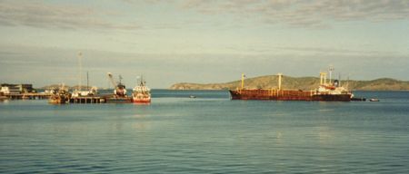
IMG_3369

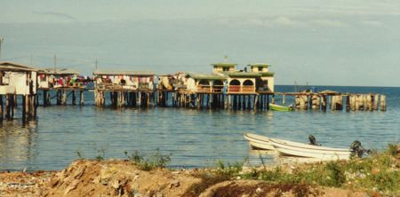
IMG_3423

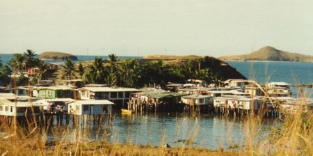
IMG_3188

Ok Tedi, From memory the mine was at 7000ft. And the road goes down to Tabubil at 1500ft. If 35Kms of road. Then from Tabubil to Kiunga a further 160 Km. 1983

Ok Tedi. Looking into Indonesia from Fubulan. The building is the core dump where some of the drilling samples are held. 1983

Ok Tedi Mine

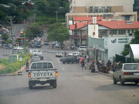
A Street in the Mining Town of TABUBIL along side the mighty FLY River, in Western Province, of PNG, Photo by Malum Nalu, on 7-01-2013

Hindenburg Wall looking north from Ok Tedi Mine site

New Residence Buildings for the Star Mountains Institute of Technology , in TABUBIL Mining Town, along the FLY River in Westrn Province, PNG, Photo by Malum Nalu, on 7-01-2013

view over the Star Mountains near TABUBIL Mining Town, in Western Province, PNG, Photo by Malum Nalu, on 8-01-2013

Travelling on the tabubil Kiunga road

View of Misty Cloudy TABUBIL Mining Town along the mighty FLY River in Western Province, PNG, Photo by Malum Nalu, on 7-01-2013

Part of the Mining Town of TABUBIL, alongside the mighty Fly River in Western Province, PNG, Photo by Malum Nalu, on 8-01-2013

Rainbow in Tabubil

TABUBIL Golf Course, viewed from a Dash 8 Airlines Window at Tabubil AirStrip before Takeoff, near the Mighty FLY River in Western Province, PNG, Photo by Malum Nalu, on 8-01-2013

View along Road at TABUBIL in Western Province along the Fly River, in PNG, Photo by Seby Bee Wagreas's, on 17-11-2012

view over Pratts crossing near lease entrace

Bevan K - Fubilan Gorge
Photos provided by Panoramio. Photos are under the copyright of their owners.