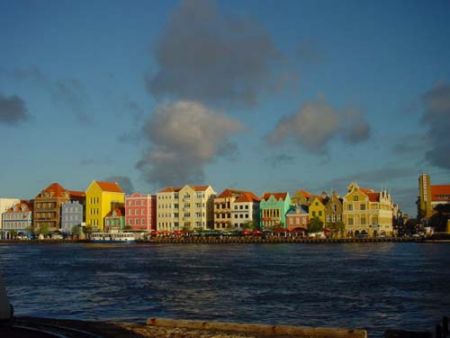
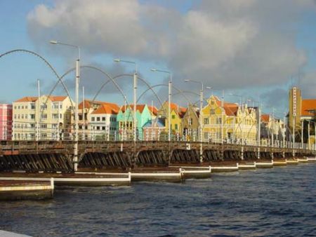
Avstand fra Willemstad til Poltava
Avstandsinformasjon fra Willemstad, De nederlandske antillene til Poltava
Geografisk avstand fra Willemstad til Poltava 9934.3 kilometer
6169.01 miles
5363.93 nautiske mil
Veien avstanden fra Willemstad til Poltava
Avstand på kartet fra Willemstad, De nederlandske antillene til Poltava
Nærmeste avstander fra Willemstad, De nederlandske antillene
| Byen | Avstand |
| Coro | 113.33 km |
| Oranjestad | 127.95 km |
| Caracas | 286.38 km |
| Maracaibo | 337.39 km |
| Barranquilla | 652.82 km |
| Santo Domingo | 716.82 km |
| Cartagena | 741.08 km |
| San Juan | 768.99 km |
| Saint Georges | 781.3 km |
| Port-au-Prince | 803.12 km |
| Charlotte Amalie | 815.41 km |
| Cruz Bay | 822.11 km |
| Port-of-Spain | 827.28 km |
| Kingstown | 844.54 km |
| San Felipe de Puerto Plata | 874.45 km |
| Basseterre | 883.01 km |
| Castries | 884.82 km |
| Roseau | 889.45 km |
| Basse-Terre | 889.55 km |
| Plymouth (Avlyst) | 892.07 km |
| Gros Holme | 892.39 km |
| Bouillante | 892.61 km |
| Fort-de-France | 893.88 km |
| Rosalie | 904.58 km |
| Saint Martin | 918.67 km |
| Dalen | 926.47 km |
| Saint John's | 944.34 km |
| Medellin | 977.96 km |
| Bogotá | 1005.96 km |
| Bridgetown | 1018.57 km |
Velg byen beregne avstand fra Willemstad, De nederlandske antillene
Sjekk avstander fra Poltava
| Byen | Avstand |
| Dnepropetrovsk | 128.74 km |
| Kharkov | 129.95 km |
| Belgorod | 183.3 km |
| Kursk | 264.29 km |
| Donetsk | 299.52 km |
| Stary Oskol | 299.89 km |
| Kiev (Kyyiv) | 300.87 km |
| Orjol | 388.85 km |
| Voronezj | 401.56 km |
| Gomel | 402.68 km |