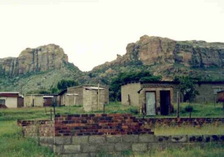
Avstand fra Maseru til Can Tho
Avstandsinformasjon fra Maseru, Lesotho til Can Tho
Geografisk avstand fra Maseru til Can Tho 9442.78 kilometer
5863.48 miles
5098.27 nautiske mil
Veien avstanden fra Maseru til Can Tho
Avstand på kartet fra Maseru, Lesotho til Can Tho
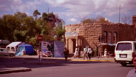
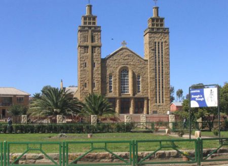
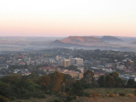
Nærmeste avstander fra Maseru, Lesotho
| Byen | Avstand |
| Welkom | 166.47 km |
| Kimberley | 273.52 km |
| Potchefstroom | 292.83 km |
| Newcastle | 296.81 km |
| Mpumalanga | 309.87 km |
| Margate | 325.34 km |
| Durban | 346.65 km |
| Johannesburg | 349.37 km |
| Midrand | 375.65 km |
| Pretoria | 402.81 km |
| RUSTENBURG | 407.64 km |
| East London | 413.61 km |
| Emalahleni | 419.68 km |
| Mahikeng | 425.35 km |
| Mbabane | 489.42 km |
| Gaborone | 541.76 km |
| Port Elizabeth | 546.57 km |
| Nelspruit | 548.16 km |
| Jeffreys Bay | 580.26 km |
| Upington - Northern Cape | 615.97 km |
| Maputo | 625.7 km |
| Polokwane (Polokwane) | 632.72 km |
| Prince Albert | 676.99 km |
| Oudtshoorn | 691.21 km |
| Villmark | 693.37 km |
| George | 705.2 km |
| Montagu | 856.76 km |
| Worcester | 901.28 km |
| Bredasdorp | 910.15 km |
| Koringberg | 937.63 km |
Velg byen beregne avstand fra Maseru, Lesotho
Sjekk avstander fra Can Tho
| Byen | Avstand |
| Lang Xuyen | 54.35 km |
| Rach Gia | 76.13 km |
| Ho Chi Minh City | 126.95 km |
| Vung Tau | 153.71 km |
| Bien Hoa | 156.4 km |
| Phnom Penh | 194.51 km |
| Phu Quoc Island | 198 km |
| Kampong Cham | 220.6 km |
| Kampong Som | 254.99 km |
| Phan Thiet | 272.39 km |