Mishmar Ayy Highway Strip H
Informasjon om lufthavn - Mishmar Ayy Highway Strip H, Israel
|
Byer i nærheten Mishmar Ayy Highway Strip H, Israel
| Byen, landet | Avstand (km) |
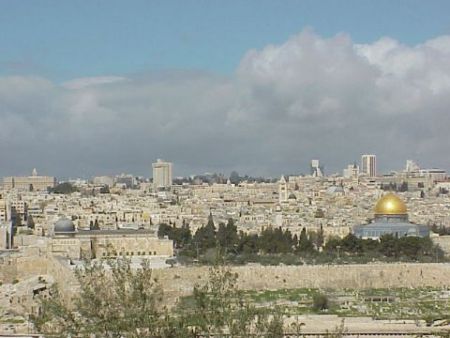
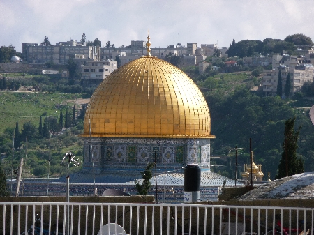
| Jerusalem | 26.2 km |
| Ashkelon | 42.96 km |
| Amman | 94.2 km |
|
| Byen, landet | Avstand (km) |
| Jerusalem | 26.2 km |
| Ashkelon | 42.96 km |
| Amman | 94.2 km |