Bilder av Utila Airport
- Honduras
- List of airports Honduras
- Utila Airport
- Utila Airport Galleri

PLANTA GENERADORA DE ENERGIA

Mangrove air roots in Blue Bayou

Bush's house (they own the island's only supermarket)

Snorkeling off Utila

Crossing a lagoon on the way from Iron Bound to Rock Harbour

6:00 pm Utila Bay

margaritaville hotel

CASA ANTIGUA DE UTILA

Utila Town from the Bay

elton & eva house

Utila Island 1

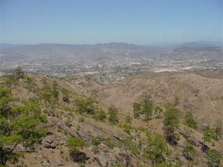
Utila, Honduras

Dive Cave Grand Entrance

Utila, Honduras

Egret in flight over bayou, with water-cleaning mangroves.

the dead lake, Utila

Water Cay Utila

Utila Island 5

Jack Neal Beach 2

Sunset view on way out to a beautiful night dive with Deep Blue Divers, Utila

Pumpkin Hill 3

Diamond Cay

Utila, Bay Islands, Honduras

Jack Neal Beach

Highfields wall and entrance construction

Little Cayitos

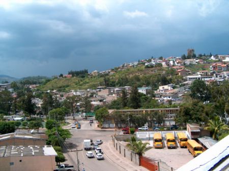
Utila

bateau a utila

WATER KEY

Camping site

Cayitos de Utila

SW Reef Pointe Beach

Bahia de Utila

UTILA BACK TRAILS

Deep Blue Resort

Razor sharp fossilized coral forest

Utila airstrip

NE Utila

View from water tank 2

Lozano road
Photos provided by Panoramio. Photos are under the copyright of their owners.