Rob Roy range

Rob Roy range

Lambrigg - Tharwa

Clear range - Australian capital territory

From Colinton rest area

Murrumbidgee River Sands

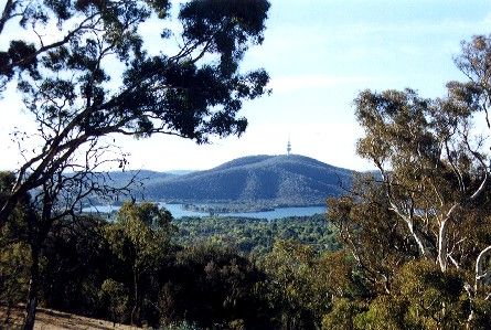
From Canberra on the way

Below Mt. Rob Roy

Namadgi Visitors Centre from Australian Alps Walking Track

Canberra from Mount Tennent

Tinderry Peaks

Mt. Tennent from Namadgi National Park Visitors Center

Upper Murrumbidgee - Angle Crossing

Monaro Valley from Mt. Rob Roy

Upper Murrumbidgee - Tharwa Sandwash with Tantangara Dam release

Looking North from Boboyan Road

Upper Murrumbidgee - Tharwa Bridge Construction

Upper Murrumbidgee - Gigerline Gorge, ACT

Upper Murrumbidgee - Upstream of ACT border

Banks top of hill

Woodland in the Gigerline Reserve, ACT

Upper Murrumbidgee - Gigerline Gorge at Guises Ck

De Sallis Cemetary on the Bidgee

Mt Tennant from Lanyon rural property, ACT

View north from Rob Roy Nature Reserve

Tuggeranong Hill (view from Gordon)

Late afternoon light on Mount Tennant

Looking north across Conder from Rob Roy Nature Reserve

Towering Gums over Tennent Fire Trail

Mt Tennant from Tharwa Drive, ACT, Australia

Snow in Burra

Tidbinbilla Road

Near Tharwa, ACT

South Canberra from Callahan Hill

Kangaroo at Tuggeranong Hill -Banks in the background

Reedy Creek crossing on Yellowbox Road

Apollo Road

Williamsdale Rd Burra NSW Australia

Looking out from the base Mt Campbell

Royalla Railway Station (Disused)
Photos provided by Panoramio. Photos are under the copyright of their owners.