Queen Beatrix International Airport (AUA)
Informasjon om lufthavn - Queen Beatrix International Airport, Aruba
|
Byer i nærheten Queen Beatrix International Airport, Aruba
| Byen, landet | Avstand (km) |
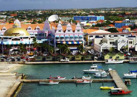
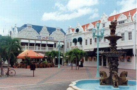
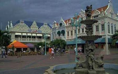
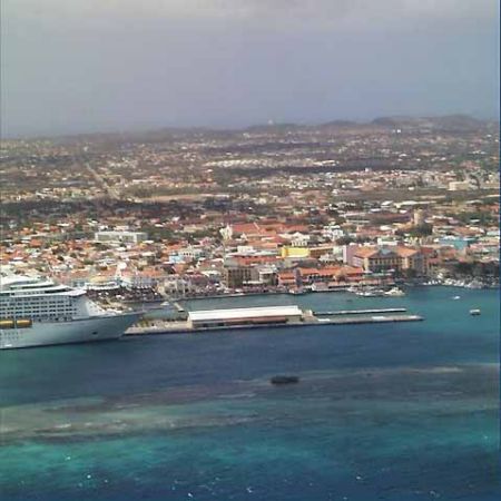
| Oranjestad | 2.71 km |
|
| Byen, landet | Avstand (km) |
| Oranjestad | 2.71 km |